Physical Address
304 North Cardinal St.
Dorchester Center, MA 02124
Physical Address
304 North Cardinal St.
Dorchester Center, MA 02124
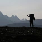
Most anglers fish the same roadside spots. Canada has millions of fishable Crown land acres that almost nobody reaches. Here is how to start.
Start by using apps like Gaia GPS to find remote access trails and overlooked coordinates that most anglers miss. Chat up your local bait shop staff, they’ve often got 10–20 years of regional knowledge on what’s biting and where.
Canada’s roughly 89% Crown land, meaning millions of fishable acres sit beyond the usual roadside lakes. Check provincial stocking reports and seasonal walleye patterns in Canadian lakes. time your trips to spring or fall plants for the freshest action, and there’s plenty more worth exploring below.
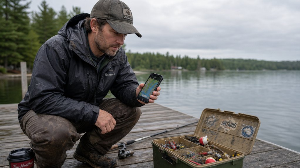
Pair these with Gaia GPS for remote access trails, and you’ve got coordinates to spots most people drive right past.
Your phone’s now your best tackle.
Combining local knowledge sources with digital tools gives you an edge in discovering hidden fishing locations that aren’t widely advertised online.
Walk into any bait shop and you’re tapping into 10-20 years of regional experience. Staff talk to dozens of anglers daily. They know which launch ramps have parking, which streams are running clear, and what’s biting right now.
Ask specific questions. Don’t just say “where should I fish?”
Ask what bait’s working this week or which access points aren’t crowded. They can also point you toward stocked lakes and conservation areas that are perfect for beginners looking for immediate success.
Staff can often clarify whether a shoreline is public or private, but if legal entry is uncertain, assume access is not permitted and keep searching for a confirmed public spot. Before heading out, remember that you’ll need the proper fishing license for your province to fish legally.
The best fishing tips cost nothing, just a genuine conversation.
How many anglers realize that roughly 89% of Canada’s land is Crown land, public territory managed by provincial and federal governments?
You’ve got millions of acres waiting, and most people never leave the roadside lakes.
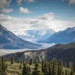
Smart fishing strategies start with mapping. Ontario’s Crown Land Use Policy Atlas and BC’s DataBC portal pinpoint remote waters with GPS coordinates, free.
Ontario anglers can also use Fish ON-Line, a mobile tool that provides maps, regulations, and sport fish details to help plan trips from anywhere. Before heading out, familiarize yourself with essential fishing gear to ensure you’re properly equipped for your adventure.
Similar tools exist across the country: BC’s iMapBC maps land and water access points, and Quebec’s SÉPAQ portal shows provincial park waters that are open to fishing.
Your access routes matter. ATV trails reach 60% of fishable Crown land. Portage routes extend your range beyond road-accessible water, with most beginners covering 15–25 kilometres per day combining paddling and portaging.
Don’t skip safety precautions: carry satellite messengers and GPS beyond cell range. If you’re camping Crown land while on a fishing trip, remember you can stay up to 21 days at one site before being required to move.
Always verify local regulations before casting.
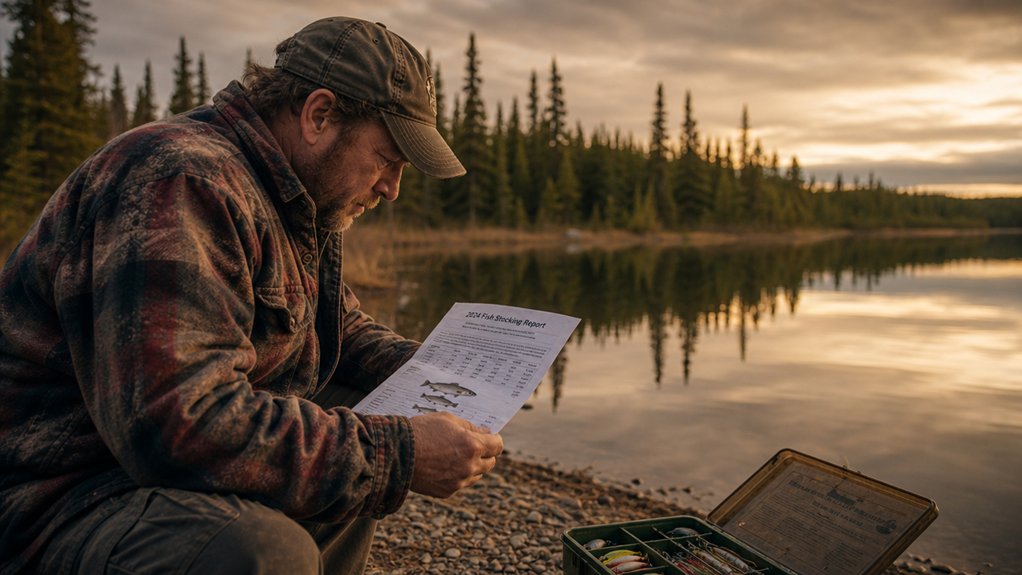
Time your trips around seasonal patterns since spring and fall stocking events coincide with natural feeding periods when fish are most active and likely to strike.
Your province matters too. Prairie seasons run May–October, while BC offers year-round freshwater access.
Atlantic provinces follow their own schedules: Nova Scotia and New Brunswick salmon rivers are subject to strict daily conservation limits that vary by run strength, so always check current provincial regulations before planning a trip.
Species like white crappie and yellow perch can have seasons that run January through December, so always check your local regulations before heading out.
In Ontario, walleye season typically opens in mid-May and runs through December, though the exact dates shift year to year. Always check the current provincial regulations before you plan your trip.
Canada’s diverse geography means that planning your outdoor adventures across different regions requires understanding each area’s unique seasonal patterns.
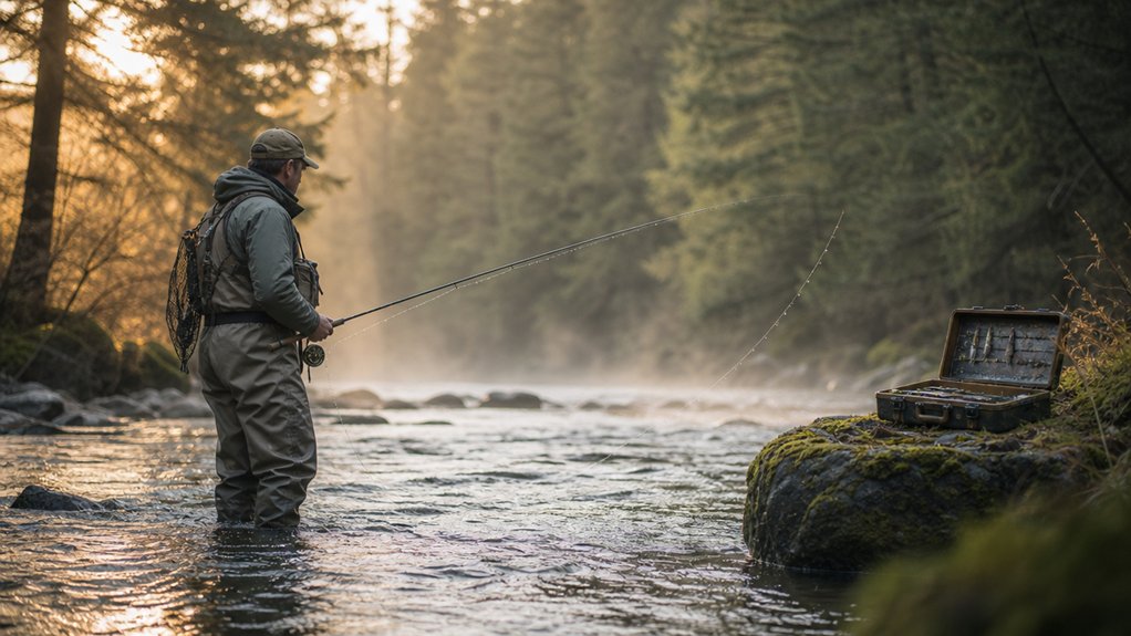
The best fishing spots are almost never the ones everyone else knows about. The roadside pull-off that shows up in every forum thread is probably fished out by August.
The spots that produce consistently are the ones that take a bit of work to reach. A 20-minute walk off the parking lot, a portage that most people turn back at, a Crown land lake that doesn’t show up on any commercial map.
Go a little further than you’re comfortable going. That’s usually where the fish are.